In the labyrinth of modern urban landscapes and sprawling rural regions, the maintenance and management of infrastructure are paramount. However, the complexity and scale of these systems often present significant challenges. Enter Geographic Information Systems (GIS), a digital marvel that offers not just solutions, but a revolution in how we approach infrastructure management.
The Problem
Picture this: crumbling roads, aging bridges, leaking pipes, and overloaded power grids. The challenges of managing infrastructure are numerous and daunting. Without accurate, up-to-date information, decision-makers struggle to prioritize repairs, allocate resources efficiently, and plan for the future. Enter the game-changer: GIS.
Enhanced Data Visualization

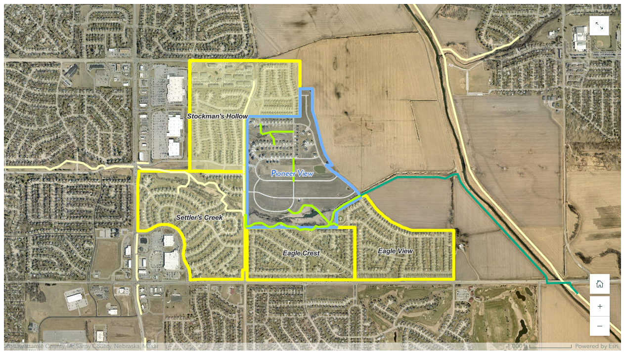
GIS technology transforms raw data into dynamic, interactive maps, providing a visual representation of infrastructure networks. From sewer systems to transportation routes, every component is meticulously cataloged and geotagged. This visual clarity empowers decision-makers to identify weak points, assess risks, and strategize maintenance efforts effectively.
Asset Management and Maintenance

Infrastructure is an investment, and like any investment, it requires careful stewardship. GIS streamlines asset management by centralizing information on maintenance schedules, repair history, and equipment inventory. By tracking the lifecycle of each asset, from installation to decommissioning, GIS empowers organizations to prioritize maintenance tasks, prolong asset lifespan, and minimize downtime.
Collaboration and Public Engagement
The beauty of GIS lies not only in its technical prowess but also in its ability to foster collaboration and engage the public. Through web-based platforms and mobile applications, GIS invites stakeholders—from government agencies to community groups—to participate in the decision-making process. By democratizing access to information and soliciting feedback, GIS builds trust, promotes transparency, and ensures that infrastructure projects reflect the diverse needs and priorities of society.
Spatial Analysis for Planning and Expansion:
Whether it’s expanding a city’s transit network or upgrading a utility grid, infrastructure planning requires precision. GIS conducts spatial analysis, overlaying multiple data layers to identify optimal locations for new infrastructure projects. By considering factors such as population density, environmental impact, and land use, GIS facilitates informed decision-making, ensuring that new infrastructure meets the needs of both present and future generations.
Benefits you can expect.
Improved Decision-Making: By analyzing spatial data, GIS aids in prioritizing repairs, allocating resources efficiently, and planning for future infrastructure projects.
Asset Management: GIS centralizes information on asset maintenance schedules, repair history, and inventory, facilitating effective asset management and prolonging asset lifespan.
Predictive Analytics: By analyzing historical data and trends, GIS helps predict infrastructure failures and optimize maintenance schedules, reducing downtime and costly repairs.
Cost Savings: Through efficient resource allocation and proactive maintenance, GIS helps minimize operational costs and avoid expensive emergency repairs.
How it Works.
Step 1: Reach out. Contact us to help you manage the infrastructure of you site, facilities, or property. Giving you the knowledge to priorities repairs and allocate resources effeciently.
Step 2: We handle the details. From data collection to mapping visualizations of your infrastructure network, we are your easy button to managing assets.
Step 3: You win! Reap the rewards of infusing GIS into managing and maintaining your future plans. The journey to creating new efficiencies using GIS begins now.
Here’s What You’ll Get.
Data Collection: GIS facilitates the collection of spatial data from various sources, including satellite imagery, GPS devices, surveys, and remote sensors.
Data Integration: GIS enables the integration of different types of spatial data, such as raster and vector data, as well as non-spatial data, to create comprehensive datasets for analysis.
Remote Sensing: GIS integrates remote sensing data, such as satellite imagery and aerial photographs, to monitor and analyze changes in the Earth’s surface over time.
Map Production: GIS facilitates map production by providing tools for cartographic design, layout, labeling, and symbolization to create professional-quality maps for various purposes.
Geoprocessing: GIS provides geoprocessing tools for performing spatial analysis and data manipulation operations, such as buffering, intersecting, clipping, and spatial joins.
Web Mapping: GIS enables the creation of interactive web maps and applications for sharing spatial data and analysis results with a wider audience.
Spatial Modeling: GIS allows for the creation and execution of spatial models to simulate real-world processes, such as urban growth, environmental change, and natural hazards.
Mobile GIS: GIS provides mobile applications and tools for collecting, editing, and accessing spatial data in the field using smartphones, tablets, and GPS-enabled devices.


