Geomatics/Survey
survey is.in our.dna.
Before you can get started, you need to know where you are. Lamp Rynearson’s surveyors and geomatics professionals do just that: help clients understand the current status of their sites and assets so decisions can be made. We are the partner of choice for clients who want to be confident in the survey data they rely on for planning and decision-making.
How We Help Your Community.
It’s not just about having the latest tools and tech – it’s knowing how to use it to the project’s advantage. Our experience in both traditional and innovative techniques gives our clients confidence in the comprehensive deliverables we provide. It’s why our clients trust us, again and again, to provide the foundational data and information that makes each project a success.
Sonar equipment mounted to either manned or unmanned boats gives Lamp Rynearson the ability to map the bottom of ponds, rivers, ditches, and lakes with increased accuracy. Clients use this data to maximize their water resources. Applications include measuring reservoir capacity, reservoir dredging planning, flood inundation studies, bridge structure sizing, and construction boring.
Our GIS team develops technically sound, long-term GIS solutions for government and private agencies. Services include: Systems Needs Assessments, Utility Mapping, 3D Mapping, Application Development, GIS/GPS Mapping & Training, CAD to GIS Conversion, Custom Cartography & Geocoding (locating). Learn more about our GIS services.
Topographic surveys are completed to a high standard of precision and accuracy by experienced Lamp Rynearson crews. With the latest in total station and GPS technology at our fingertips, we can complete topographic surveys on any structures or over any terrain. We know how to work with state and local government departments on roadway projects and major railroad companies track and bridge designs. Lamp Rynearson is also experienced in providing surveys for infrastructure at major airports.
Whether it’s to acquire more land for a project or to subdivide land into parcels, Lamp Rynearson survey crews are experienced in finding, setting, and/or re-establishing property boundaries. Depending on the needs of your project, cadastral and boundary surveys may include thorough research on easements and other rights or restrictions associated with property boundaries.
- Working in-house with an engineering team gives us an advantage in reading engineering/architectural plans, resolving plan discrepancies, and communicating changes or revisions to all stakeholders. There is no need to wait weeks for a crew to be available to provide construction staking for your project. Count on Lamp Rynearson to respond quickly and work efficiently so you can break ground in no time!
The Lamp Rynearson survey team has professionals specifically trained in the order and review of land title documents to help you determine if your project needs additional right of way and to identify encumbrances. If the answer is “yes”, we’ll make sure the legal descriptions and plan exhibits are prepared to successfully work with property owners.
If you are buying or developing property, our survey team is experienced at creating plats/maps required by title companies to document your purchase. The intricate process includes extensive public and private records review, a thorough field investigation, and precise analysis of the findings to make sure there are no discrepancies regarding the property’s physical and documented boundaries. If clarification or rectification of the boundary is required, Lamp Rynearson surveyors are experts in setting new markers and rewriting documents that are agreeable to all stakeholders involved, so that you can proceed quickly and confidently with your purchase.
Control surveys set the foundation for any other survey to occur. Lamp Rynearson surveyors are experts in establishing the horizontal and vertical control points to create a framework for subsequent surveys. Monuments and benchmarks are included in a control survey, as needed.
How big are your stockpiles? Surveyors at Lamp Rynearson can help you answer that question. Knowing the quantity of material in your stockpiles will help you minimize the cost of exporting and importing materials. Quantity and volume surveys can also be helpful in planning for earthwork and used to determine excavation or fill quantities.
A legal description clearly defines a specific location, parcel of land, or easement in a factual and unbiased manner. Often legal descriptions will have a corresponding map, which is a visual representation of the written legal description. Lamp Rynearson is well-versed in the preparation of these documents, which are frequently needed by clients for the planning and development of land.
Innovative Solutions & 3D Services.
Lamp Rynearson is always on the lookout for new and innovative solutions to challenges. Lamp Rynearson’s in-house survey team has utilized a variety of 3D scanning and Aerial Drone technology across a multitude of projects.
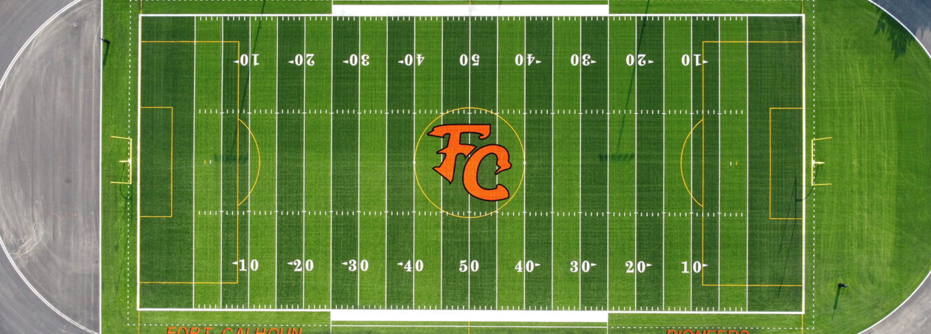
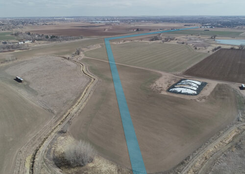
With the use of an aerial drone, high definition camera, and photogrammetry, we can help you capture the “bigger picture” for your project. Applications include large outdoor spaces, volumetric surveys, orthomosaic photos, construction progress monitoring, updated photography, and site development and planning.
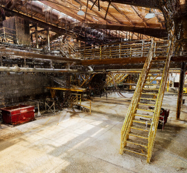
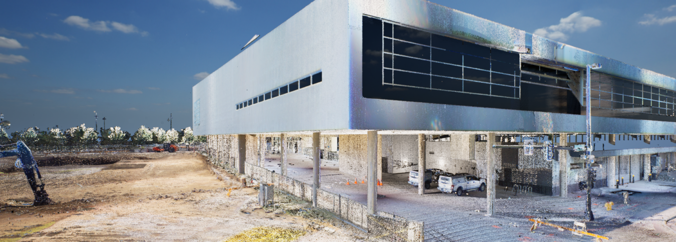
Lamp Rynearson has invested in scanning technology that increases efficiencies and enhances workplace safety. With our terrestrial and mobile scanners, we’re able to easily scan environments that are difficult to access or have hard to reach features. These hand-held and stationary sensors are our most versatile equipment to produce 3D point clouds that can be used to create 3D representations of the scanned environment. Applications include confined space, pipe network, and mechanical installations.
Our Projects.
Survey in the News.
Go Beyond the Surface with the ALTA Survey
“The most important quality a land surveyor can have is curiosity. Digging into the history of a property takes a curious spirit.” Land surveying is fundamental in building society. Our engineering and land surveying teams collaborate to create the best project results. If you are buying or developing property, our Lamp Rynearson team has experience creating plats/maps required by title companies to insure your purchase.

3D Services
Capturing three-dimensional data of features, structures, and landscapes using laser scanners, photogrammetry, unmanned aerial vehicles (UAVs), and traditional survey methods allows our team of professionals to create accurate representations of real-world objects and spaces.

Unveiling the Secrets of the Deep: Bathymetric Survey
Our geomatics team utilizes advanced sonar equipment mounted on crewed and uncrewed boats. The sonar emits sound waves that travel to the river banks and bottom and bounce back, allowing the survey team to create accurate depth measurements. Combining these measurements with positioning data, we create detailed maps of underwater terrain like ponds, rivers, and lake bottoms.

